北海道の広さほっかいどうのひろさ
Hokkaido no hirosa
how much bigger Hokkaido is than most visitors expect
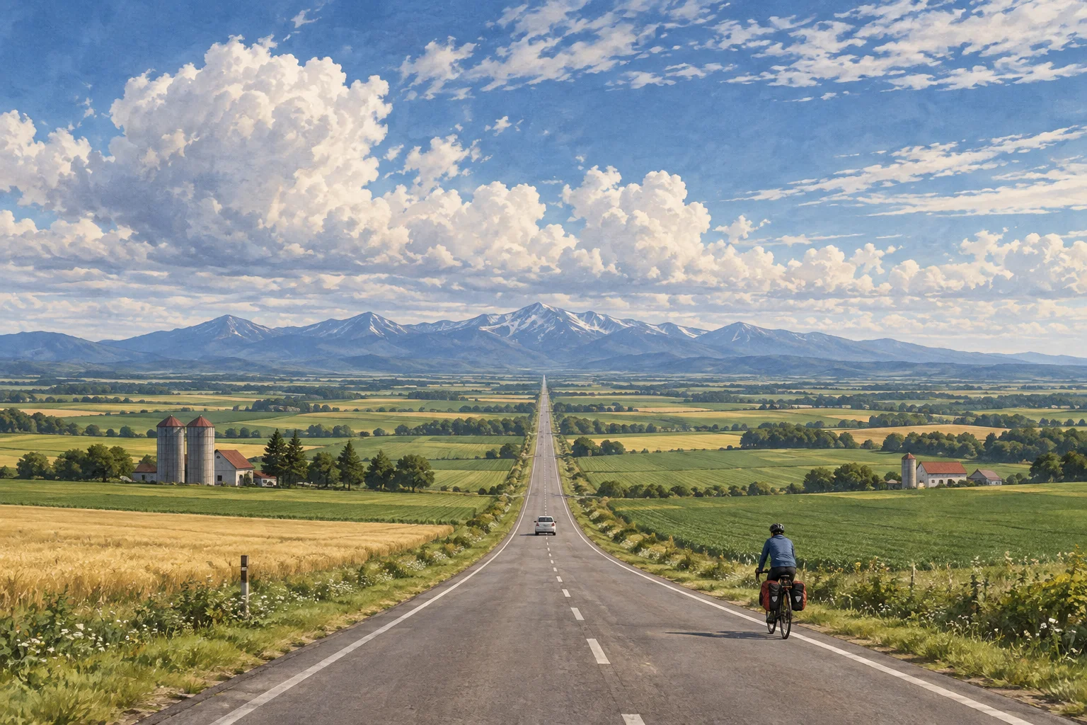
地図では一つの島だが、走ると九州7県より大きいと分かる。
一言で言うと
これだけ覚えれば最低限伝わる一文
Hokkaido is Japan's largest and least crowded prefecture, roughly twice the size of Kyushu.
北海道は日本最大かつ人口密度の低い都道府県で、面積は九州のおよそ2倍あります。
30秒で説明する
外国人に説明するときの標準サイズ
Hokkaido looks like a single, compact island on a map of Japan, but it covers about 83,400 square kilometers, roughly twice the combined area of Kyushu's seven prefectures. First-time visitors routinely underestimate travel times, since two well-known towns that look close together on a map can easily be a four-hour drive apart. The population is thin outside a few cities, which is exactly why it draws people seeking open space, wildlife and snow.
北海道は日本地図の上では一つのまとまった島に見えますが、面積はおよそ8万3,400平方キロメートルあり、九州7県を合わせた面積のおよそ2倍にあたります。初めて訪れる人は移動時間を見誤りがちで、地図では近くに見える有名な町どうしが、実は車で4時間も離れていることがよくあります。ほとんどの地域で人口密度は低く、だからこそ広々とした空間や野生動物、雪を求めて人が集まります。
スピーチ・英作文
通訳案内士の二次口述・大学入試の自由英作文に
On a map of Japan, Hokkaido looks like one neat island sitting on top of the country, but its actual scale surprises almost every first-time visitor. It covers about 83,400 square kilometers, which is roughly twice the combined area of Kyushu's seven prefectures, and about the size of Austria. The result is that travel times are much longer than they look.
Sapporo and Asahikawa, or Hakodate and Wakkanai, can be separated by hours of driving even though they appear close together on a small map, and a trip that tries to combine a city, a hot spring town and a national park in a few days often ends up mostly on the road. This same scale is exactly what makes Hokkaido distinctive within Japan.
Outside a handful of cities, population density drops sharply, farms stretch further than almost anywhere else in the country, and winters bring light, dry powder snow that draws skiers from overseas. For visitors, the practical lesson is simple: plan around driving distances, not map distances.
日本地図の上では、北海道は国の上にちょこんと乗った一つの整った島に見えますが、実際の規模はほとんどの初訪問者を驚かせます。面積はおよそ8万3,400平方キロメートルで、九州7県を合わせた面積のおよそ2倍で、オーストリアとほぼ同じ広さです。その結果、移動時間は見た目よりずっと長くなります。
札幌と旭川、あるいは函館と稚内は、小さな地図では近くに見えても車で何時間も離れていることがあり、数日で都市と温泉町と国立公園を組み合わせようとする旅程は、結局ほとんど移動に費やされることになりがちです。この広さこそが、北海道を日本の中で際立たせています。
いくつかの都市を離れると人口密度は急に下がり、農地は国内のほかのどこよりも広がり、冬には軽く乾いた粉雪が降り、海外からスキー客を呼び寄せます。訪れる人への実際的な教訓はシンプルです。地図上の距離ではなく、車での移動時間で計画を立ててください。
こう聞かれたら
外国人から実際にされる質問と、その答え方。
How does Hokkaido compare in size to a country I might know?
私が知っていそうな国と比べると、どれくらいの大きさなのですか。
It is close in size to Austria, and about twice the size of Switzerland or the Netherlands. Within Japan, it is by far the largest prefecture, nearly forty times the size of Tokyo.
オーストリアに近い広さで、スイスやオランダのおよそ2倍です。日本国内では圧倒的に最大の都道府県で、東京都のおよそ40倍にあたります。
Can I really not see it all in a few days?
数日ではとても回りきれないのですか。
Realistically no. Most visitors pick one or two regions, such as Sapporo and Otaru, or Hakodate, rather than trying to circle the whole prefecture, and even experienced travelers plan a week or more to cover a wider loop.
現実的には無理です。多くの訪問者は、北海道全体を回ろうとするのではなく、札幌と小樽、あるいは函館といった一つか二つの地域に絞ります。広く回る旅程を組む経験豊富な旅行者でも、1週間以上を見込みます。
Why is the population so spread out?
なぜ人口がそんなに分散しているのですか。
Large-scale Japanese settlement of Hokkaido, long home to the Ainu people, began mainly in the late 1800s, and much of the land was developed for large-scale farming and forestry rather than dense settlement, so towns remain small and far apart outside Sapporo.
アイヌの人々が古くから暮らしてきた北海道で、和人による本格的な開拓が進んだのは主に1800年代後半以降です。多くの土地が密集した居住地としてではなく、大規模な農業や林業のために開発されたため、札幌を離れると町は小さく、互いに離れたままです。
そのまま使えるフレーズ
- It's a four-hour drive between those two towns.あの二つの町の間は車で4時間かかります。
- Hokkaido is bigger than it looks on the map.北海道は地図で見るより広いです。
- We're only covering one region this trip.今回は一つの地域だけ回ります。
- Plan around driving time, not map distance.地図上の距離ではなく、運転時間で計画してください。
- Outside the cities, it's very sparsely populated.都市部を離れると、とても人口が少ないです。
説明に使う語句
- square kilometer平方キロメートル
- population density人口密度
- prefecture都道府県
- driving distance運転での移動距離
- sparsely populated人口の少ない
動画で見る
YouTube より豆知識
北海道の面積は約8万3,422平方キロメートルで、九州7県(福岡・佐賀・長崎・熊本・大分・宮崎・鹿児島)の合計面積およそ4万2千平方キロメートルの、ほぼ2倍にあたる。九州本島だけの面積は約3万6,800平方キロメートルで、長崎や鹿児島の多くの島がこの差にあたる。都道府県別では全国最大で、2番目に大きい岩手県のおよそ5.5倍にもなる。人口密度は全国平均を大きく下回り、稚内から函館までは陸路で7時間以上かかることもある。旅行者にはレンタカーでの移動時間を短く見積もりすぎないよう注意が呼びかけられている。
