線状降水帯せんじょうこうすいたい
senjo kosuitai
the linear rainband that causes Japan's worst flash flooding
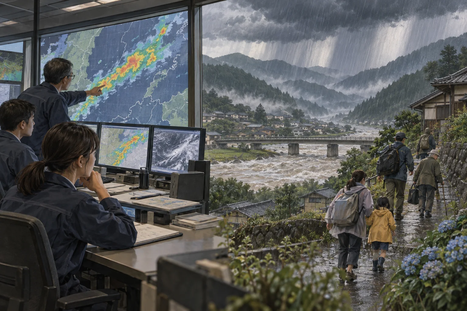
同じ場所に何時間も雨雲が並び続ける現象。近年の水害の多くの原因。
一言で言うと
これだけ覚えれば最低限伝わる一文
A senjo kosuitai is a line of thunderstorms that stalls over one area for hours, dumping extreme, flood-causing rain.
線状降水帯とは、積乱雲が同じ場所に何時間も並び続け、洪水を招くほどの猛烈な雨を降らせる現象です。
30秒で説明する
外国人に説明するときの標準サイズ
A linear rainband forms when a chain of thunderstorm clouds keeps regenerating along the same narrow line, fed by a steady stream of warm, moist air, instead of moving through and clearing out. The result is hours of extremely heavy rain concentrated over one area rather than spread across a region, which is what makes it so dangerous for flooding and landslides. The Japan Meteorological Agency has issued real-time emergency warnings for these events since June 2021 and began advance forecasts, warning of the possibility half a day ahead, from June 2022, narrowing them to individual prefectures in 2024.
線状降水帯は、暖かく湿った空気が絶え間なく流れ込むことで、積乱雲が同じ細長い帯の上で次々に発生し続け、通り過ぎずにその場にとどまる現象です。結果として、広い範囲にではなく一つの場所に猛烈な雨が何時間も集中し、これが洪水や土砂災害を引き起こしやすくする理由です。気象庁は2021年6月から、発生時にリアルタイムで危険を知らせる「顕著な大雨に関する気象情報」の運用を始め、2022年6月からは半日ほど前に発生の可能性を知らせる予測情報も出すようになり、2024年からはそれを府県単位に細かくしました。
スピーチ・英作文
通訳案内士の二次口述・大学入試の自由英作文に
For a long time Japanese weather forecasts talked mainly about typhoons and the rainy season, tsuyu, as the things to worry about. In the last fifteen years or so, a more specific and dangerous term has become common: senjo kosuitai, the linear rainband.
It happens when warm, moisture-laden air keeps flowing into the same spot, generating one thunderstorm cell after another along a narrow line, each drifting off the same way while a new one forms right behind it, so the rain simply never stops. Totals of several hundred millimeters in a few hours are possible, overwhelming rivers and triggering landslides far faster than ordinary heavy rain.
The Japan Meteorological Agency began issuing a real-time alert for these events in June 2021, and since June 2022 has also issued advance warnings, now by prefecture, roughly half a day ahead. The forecast is still far from perfect — accuracy has been reported around ten to fifteen percent even recently — but officials argue an imperfect early warning still gives people time to evacuate before a river rises.
長いあいだ、日本の天気予報で警戒すべきものといえば、主に台風と梅雨でした。ここ十五年ほどで、もっと具体的で危険な言葉が広く知られるようになりました。線状降水帯です。暖かく水分を多く含んだ空気が同じ場所に流れ込み続けることで起き、細長い帯の上で積乱雲が次々に発生します。一つひとつは同じ方向へ流れていきますが、そのすぐ後ろに次の雲がすぐでき、地上からは雨がまったくやまないように感じられます。
数時間で数百ミリという雨量になることもあり、これは普通の大雨よりずっと速く河川を氾濫させ、山の斜面で土砂災害を引き起こします。気象庁は2021年6月から、発生時にその場で危険を知らせる「顕著な大雨に関する気象情報」の運用を始め、2022年6月からは、当初は広い地方単位、今は府県単位で、発生しそうな状況になるおよそ半日前に知らせる予測情報も出すようになりました。
この予測はまだ完璧にはほど遠く、近年でも的中率は一割から一割半ほどにとどまると報じられています。それでも当局は、たとえ不完全であっても、河川が実際に増水する前に人々が避難する時間を作れると説明しています。
こう聞かれたら
外国人から実際にされる質問と、その答え方。
How is this different from just heavy rain or a typhoon?
ただの大雨や台風とは何が違うのですか。
A typhoon moves through and eventually leaves; ordinary heavy rain is usually spread over a wider area. A linear rainband stays fixed over roughly the same narrow strip of ground for hours, which is what concentrates the damage so heavily in one place.
台風は通り過ぎてやがて去っていきますし、普通の大雨は広い範囲に降ります。線状降水帯は、ほぼ同じ細長い場所に何時間もとどまり続けるため、被害が一か所に極端に集中します。
How accurate is the half-day-ahead forecast?
半日前の予測はどのくらい正確なのですか。
Still fairly low — recent hit rates have been reported around ten to fifteen percent — but the agency continues to invest in supercomputers and observation to narrow both the area and the timing, with further improvements planned through the late 2020s.
まだかなり低く、近年の的中率はおよそ一割から一割半と報じられています。それでも気象庁はスーパーコンピューターや観測の強化に投資を続けており、範囲と時期をさらに絞り込む改善を2020年代後半にかけて計画しています。
What should I actually do when this warning is issued?
この情報が出たら、実際どうすればよいですか。
Treat it as a signal to check evacuation routes and river and landslide risk maps for your area in advance, rather than waiting for visible flooding, since by the time water is visibly rising it may already be too late to move safely.
目に見えて浸水してから動くのでは遅れることがあるため、実際に水があふれる前に、自分の地域の避難経路やハザードマップを確認する合図だと考えてください。
そのまま使えるフレーズ
- A linear rainband has formed over the region.この地域に線状降水帯が発生しています。
- The agency issued a half-day-ahead warning.気象庁が半日前予測を出しました。
- The rain won't let up for hours.何時間も雨がやみません。
- Please check the evacuation map now, not later.あとではなく、今すぐ避難地図を確認してください。
- This is what causes the worst flash flooding here.これがここで最悪の鉄砲水を引き起こす原因です。
説明に使う語句
- linear rainband線状降水帯
- thunderstorm cell積乱雲
- flash flooding鉄砲水
- landslide土砂災害
- advance warning半日前予測
動画で見る
YouTube より豆知識
線状降水帯は、暖湿な空気の流入が続くことで積乱雲が次々に発生し、同じ細長い範囲にとどまり続けて豪雨をもたらす現象である。気象庁は2021年6月から、発生を検知した際に危険度の高まりを知らせる「顕著な大雨に関する気象情報」の運用を始め、2022年6月からは発生の半日ほど前に可能性を知らせる予測情報も導入した。予測は当初、全国を11のブロックに分けた地方単位だったが、2024年5月からは府県単位に細分化されている。報道によれば、府県単位の的中率は2024年で約一割、2025年で約一割半ほどにとどまるとされ、気象庁は観測とスーパーコンピューターの強化により精度向上を続けている。
