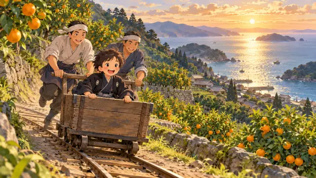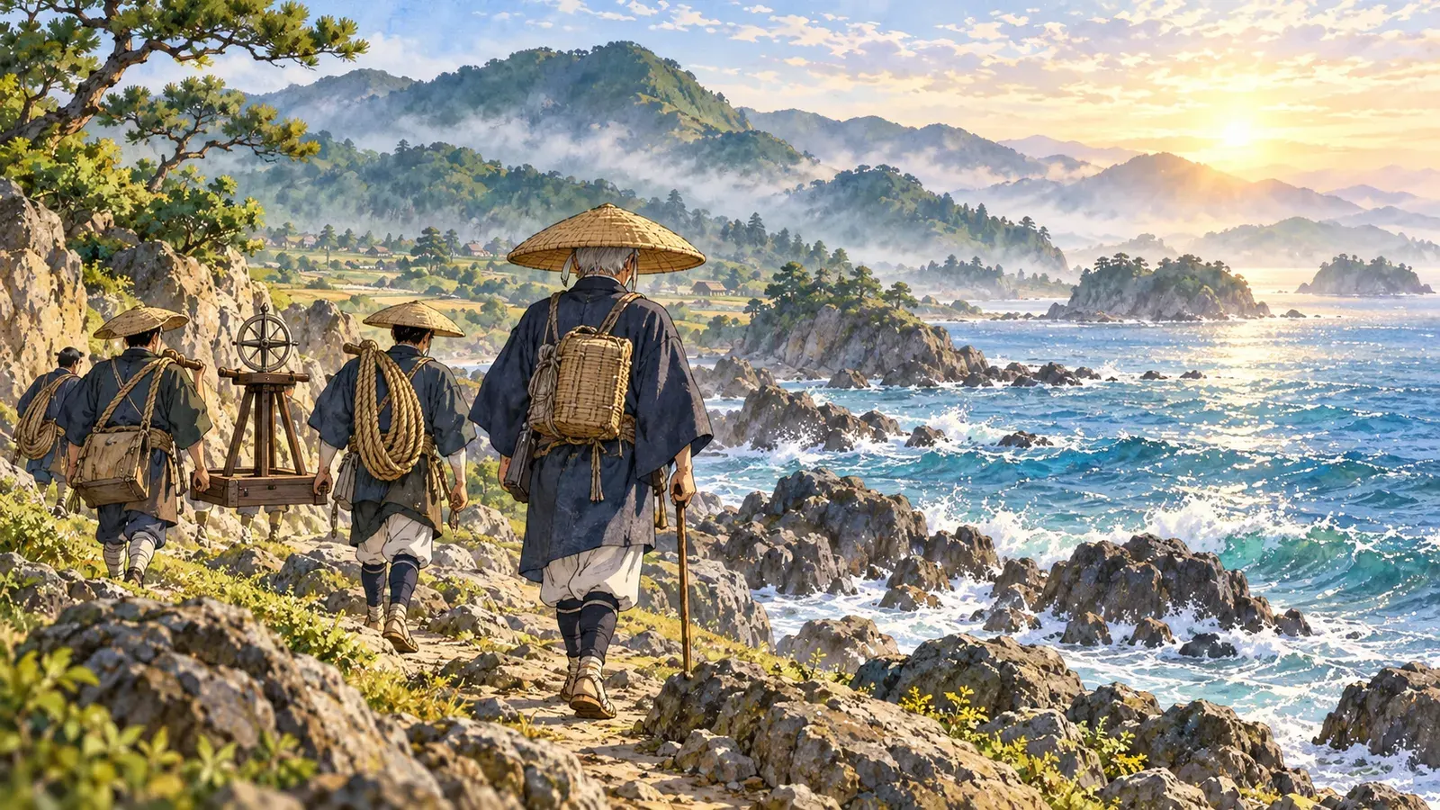
Imagine walking along the coasts of Japan, measuring every step of the way. Now imagine starting this journey at the age of fifty-five. That is what Ino Tadataka did. For about sixteen years, he and his team traveled around the country, and they made the first truly accurate map of Japan.
日本の海岸線にそって、一歩一歩、道のりをはかりながら歩いていくところを想像してみてください。しかも、その旅を55歳で始めるのです。それをやってのけたのが、伊能忠敬です。忠敬と測量隊は約16年かけて日本中をめぐり、初めて本当に正確な日本地図を作りあげました。
Tadataka was born in 1745 in a fishing village in what is now Chiba Prefecture. When he was seventeen, he married into the Ino family in Sawara, a busy river town. The family had a business making sake and selling rice. Tadataka worked hard and was very good at business. He made the family rich, and he also helped the town. During a terrible famine, he gave rice to poor people.
忠敬は1745年、今の千葉県にある漁村で生まれました。17歳のとき、川の港としてにぎわう佐原の町の伊能家に、婿として入りました。伊能家は、酒造りと米の商売をしていました。忠敬はよく働き、商売の腕もたしかでした。伊能家を豊かにしただけでなく、町のためにも力をつくしました。ひどい飢饉のときには、貧しい人たちに米を分け与えたのです。
But all his life, Tadataka had a secret love. It was the stars. He wanted to study astronomy and mathematics. In 1794, he gave the family business to his son and retired. The next year, he moved to Edo, the city that is now Tokyo. There, at about fifty years old, he became a student of Takahashi Yoshitoki, a famous astronomer. His teacher was nineteen years younger than he was.
けれども忠敬には、一生胸に秘めていた夢がありました。星です。天文学と数学を学びたかったのです。1794年、忠敬は家業を息子にゆずって隠居しました。翌年には、今の東京である江戸に移ります。そして50歳ほどで、有名な天文学者・高橋至時に弟子入りしました。先生は、忠敬より19歳も年下でした。
Tadataka studied very hard. He watched the stars and did calculations late into the night. Soon he had a big question. How large is the Earth? To answer it, he needed to measure the distance on the ground that matches one degree of latitude. A long distance would give a better answer. So he wanted to measure all the way from Edo to Ezo, the northern island that is now called Hokkaido.
忠敬は、それは熱心に学びました。夜遅くまで星を観測し、計算を続けました。やがて、大きな疑問がわいてきます。地球はいったいどれくらいの大きさなのだろう? それを知るには、緯度1度ぶんにあたる地上の距離をはかる必要があります。はかる距離が長いほど、答えは正確になります。そこで忠敬は、江戸から北の蝦夷地(今の北海道)まで、ずっとはかってみたいと考えました。
Traveling so far was not easy in those days. People needed permission from the government. Tadataka and his teacher had a clever plan. The government was worried about foreign ships near Ezo, and it wanted good maps of the area. So Tadataka offered to make a map. In 1800, at the age of fifty-five, he set out with his son and a few helpers. He paid for much of the trip with his own money.
当時、そんなに遠くまで旅をするのは簡単ではありませんでした。幕府の許しが必要だったのです。そこで忠敬と先生は、うまい手を考えました。幕府は、蝦夷地の近くに現れる外国船を気にかけていて、その地方のよい地図をほしがっていました。そこで忠敬は、地図を作ることを申し出たのです。1800年、55歳の忠敬は、息子と数人の助手を連れて出発しました。旅の費用の多くは、自分のお金でまかないました。
How did he measure? At first, he simply walked. He had trained himself to take steps of the same length every time, about 69 centimeters each. Later, his team used ropes and chains to measure distances more exactly. At every turn of the road, they measured the direction with a special compass. At night, if the sky was clear, Tadataka watched the stars to check exactly where they were on the Earth.
どうやって距離をはかったのでしょう? 最初は、ただ歩いたのです。忠敬は、いつも同じ歩幅、約69センチで歩けるように自分をきたえていました。のちには、縄や鎖を使って、もっと正確に距離をはかるようになりました。道が曲がるたびに、特別な方位磁針で方角をはかりました。夜、空が晴れていれば星を観測し、自分たちが地球上のどこにいるのかを正確に確かめました。
The first map was so good that the government asked him to do more. In the end, Tadataka led ten surveys. His teams walked along the coasts of Honshu, Shikoku, Kyushu and many small islands. They climbed mountains and crossed rivers. Sometimes the weather was terrible, and sometimes Tadataka was sick. Altogether, the teams walked tens of thousands of kilometers. He kept working on the surveys until he was over seventy.
最初の地図があまりにもよくできていたので、幕府はさらに測量を続けるよう命じました。結局、忠敬は10回の測量を率いることになります。測量隊は、本州、四国、九州、そしてたくさんの小さな島々の海岸線を歩きました。山を登り、川を渡りました。ひどい天気の日もあれば、忠敬が病気になることもありました。測量隊が歩いた道のりは、合わせて何万キロにもなります。忠敬は70歳をこえても、測量を続けました。
His work also answered his first question. From his measurements, Tadataka calculated that one degree of latitude was about 28.2 ri, or around 110 kilometers. This was very close to the number that scientists use today. At first, his teacher could hardly believe the result. But later, when they compared it with a European astronomy book, the numbers were almost the same.
測量は、忠敬の最初の疑問にも答えを出しました。はかった結果から、忠敬は緯度1度の距離を約28.2里、つまり約110キロと計算しました。これは、今の科学者が使っている数値にとても近いものです。初め、先生はこの結果をなかなか信じられませんでした。ところが、のちにヨーロッパの天文学の本とくらべてみると、数値はほとんど同じだったのです。
Sadly, Tadataka died in 1818, at the age of seventy-three, before the full map was finished. His students and team kept working. In 1821, they completed the great map of Japan and gave it to the government. It was made of many large sheets. When all the most detailed sheets are put together, they cover the floor of a big gym.
残念なことに、忠敬は地図の完成を見ることなく、1818年に73歳で亡くなりました。弟子たちと測量隊はその仕事を引きつぎ、1821年、ついに日本全図を完成させて幕府に納めました。地図は、たくさんの大きな紙でできています。いちばんくわしい地図をすべてつなぎ合わせると、大きな体育館の床がうまってしまうほどです。
The map was so accurate that it was still used many years later, after the Meiji period began. People from other countries who saw copies of it were surprised by its quality. All of this came from a man who started his dream at an age when most people of his time were ready to rest.
この地図はとても正確だったので、明治時代に入ってからも長く使われつづけました。その写しを見た外国の人たちは、出来ばえのよさに驚きました。そのすべては、たった一人の男から始まりました。当時ならたいていの人がもう休もうとする年になってから、夢を追いはじめた男です。
Today, you can visit the Ino Tadataka Museum in Sawara, Chiba, and see his tools and maps. His story is a favorite in Japan because it teaches a simple lesson. It is never too late to start learning. Tadataka began at fifty, and with one step after another, he measured a whole country.
今では、千葉県佐原の伊能忠敬記念館で、忠敬の道具や地図を見ることができます。忠敬の話が日本で愛されているのは、ひとつの単純な教えを伝えてくれるからです。学びはじめるのに、遅すぎることはない。忠敬は50歳で学びはじめ、一歩また一歩と歩いて、国じゅうをはかったのです。