akisame zensen
the autumn rain front that brings weeks of gray, wet weather
秋雨前線(あきさめぜんせん)
In one line
The shortest answer that works
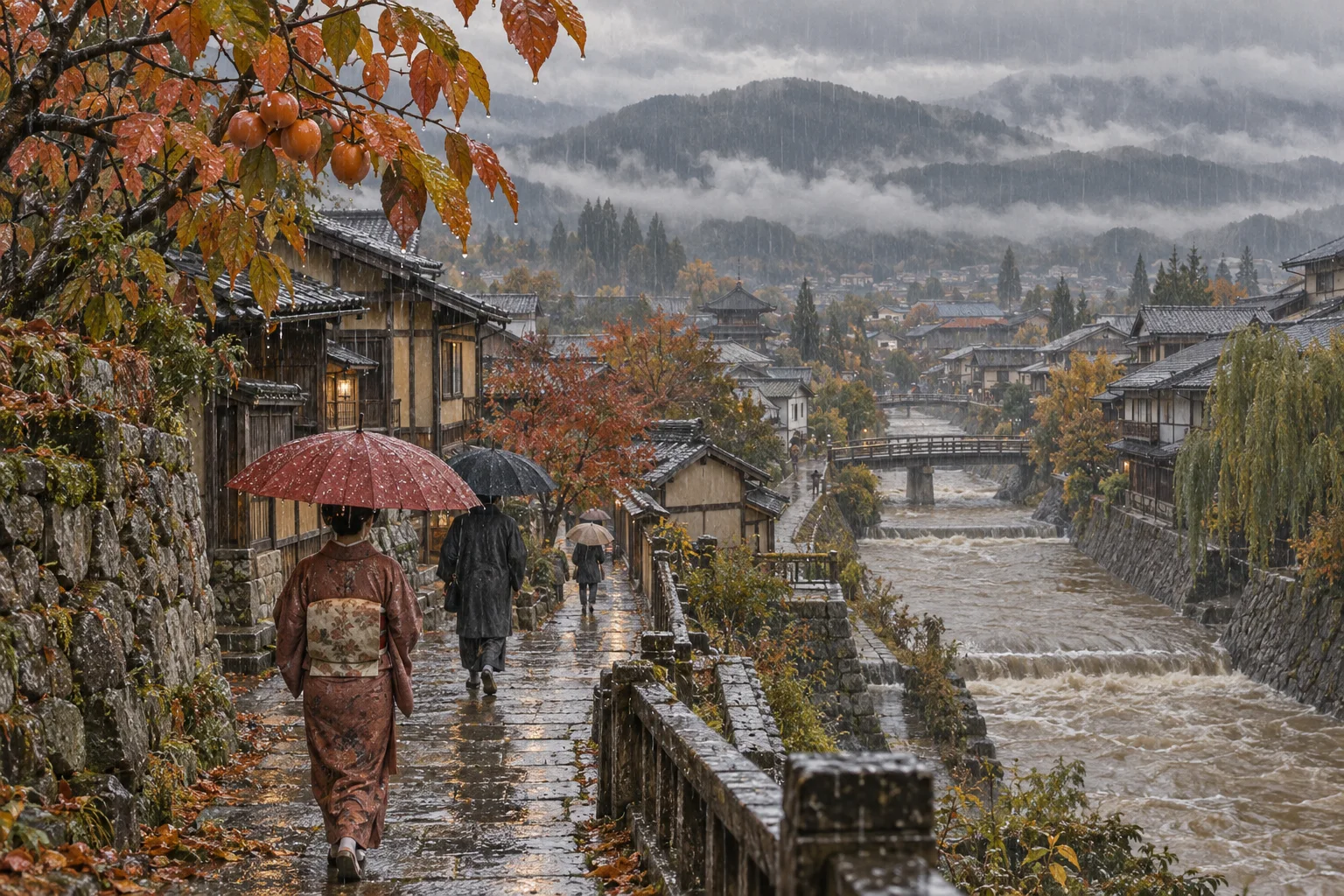
Akisame zensen is a stationary autumn rain front that brings weeks of gray, damp weather each September and October.
秋雨前線とは、九月から十月にかけて長く居座り、ぐずついた天気を続かせる秋の停滞前線のことです。
In 30 seconds
The standard explanation
Much like the rainy season front in early summer, a boundary called the akisame zensen forms in early autumn where the retreating warm, humid Pacific air mass meets cooler air pushing down from the north, and the two stall against each other rather than moving through. The result is a stretch of cloudy, drizzly, on-and-off rainy weather that can last several weeks, usually from around early September into October, standing between the heat of summer and the clear skies of late autumn. When a typhoon passes nearby while the front is active, the moisture the typhoon draws in can combine with the front to produce unusually heavy, sometimes dangerous rainfall.
初夏の梅雨前線とよく似た仕組みで、秋の初めには秋雨前線という境目ができます。南へ退いていく太平洋の暖かく湿った空気と、北から張り出してくる涼しい空気がぶつかり合い、どちらも押し切れずにその場に居座ります。結果として、九月初めから十月にかけて、曇りや小雨が続く、ぐずついた天気が数週間続くことがあり、夏の暑さと秋晴れのあいだをつなぐ時期になります。この前線が居座っている時期に台風が近づくと、台風が引き込む湿った空気と前線が重なり合い、思いがけず激しく、時には危険な大雨になることがあります。
As a short speech
A full paragraph you can read aloud
Japan has two rainy seasons a year, not one, and the second is far less talked about than the early-summer tsuyu. From roughly early September into October, a front called the akisame zensen sets up along the boundary between the retreating summer air mass and cooler air moving down from the north, and, much like the rainy-season front, it tends to stall in place rather than sweep through.
The weather it produces is not usually dramatic on its own: overcast skies, periods of drizzle or steady rain, temperatures dropping noticeably from the summer heat, and days that never quite clear up. What makes it worth knowing about is what happens when a typhoon arrives while the front is still active.
A typhoon draws in enormous amounts of moisture, and if that moisture feeds directly into an already-stalled front, rainfall can intensify sharply and unpredictably, which is the mechanism behind several of Japan's worst autumn flooding disasters in recent decades. The front usually breaks down and retreats by mid-to-late October, opening the way to the clear, dry skies typically associated with autumn in Japan.
日本には一年に二回、長雨の季節があり、初夏の梅雨ほどには語られない、もう一つが秋にあります。九月の初めごろから十月にかけて、後退していく夏の空気と、北から張り出してくる涼しい空気の境目に秋雨前線ができ、梅雨前線とよく似て、通り過ぎずにその場に居座りがちです。
この前線そのものがもたらす天気は、たいていはそれほど激しくありません。曇り空、時折の小雨や弱い雨、夏の暑さから目に見えて下がる気温、すっきりと晴れない日が続きます。知っておく価値があるのは、この前線が居座っているところに台風が近づいたときです。台風は大量の湿った空気を引き込みます。
その空気がすでに居座っている前線にそのまま流れ込むと、雨は急に、予測しにくい形で強まることがあり、これが近年の秋の大きな水害のいくつかを引き起こしてきた仕組みです。前線はたいてい十月半ばから下旬には崩れて後退し、日本らしい秋晴れの澄んだ空へと移っていきます。
Questions people actually ask
And how to answer them.
Is this the same as the rainy season, tsuyu?
It's a separate event with a similar mechanism — a stalled front between warm and cool air masses. Tsuyu happens in early summer as the front moves north; akisame zensen happens in early autumn as roughly the same kind of front moves back south.
梅雨とは別の現象ですが、暖かい空気と涼しい空気がぶつかって前線が居座るという仕組みはよく似ています。梅雨は初夏に前線が北上する際に、秋雨前線は初秋にほぼ同じ種類の前線が南下する際に起こります。
Why does it get so dangerous when a typhoon is nearby?
A typhoon pulls in a huge amount of moist air, and if that moisture flows into an already-stalled front instead of dispersing, the combination can produce rainfall well beyond what either the front or the typhoon would cause alone.
台風は大量の湿った空気を引き込みます。その空気が拡散せず、すでに居座っている前線にそのまま流れ込むと、前線だけ、あるいは台風だけの場合をはるかに超える雨量になることがあります。
When does it usually end?
Around mid to late October in most of Japan, when the cooler air mass finally pushes the front away and clearer, drier autumn weather sets in, though the exact timing shifts from year to year.
日本の多くの地域では十月半ばから下旬ごろで、涼しい空気がついに前線を押しやり、より晴れて乾いた秋の天気になります。ただし年によって時期はずれます。
Phrases you can use
- The autumn rain front has settled in again.また秋雨前線が居座っています。
- It's been gray and drizzly for a week.一週間、曇りと小雨が続いています。
- A typhoon near the front means heavy rain.前線の近くに台風が来ると大雨になります。
- This weather should clear up by mid-October.十月半ばまでにはこの天気も落ち着くはずです。
- It's Japan's second rainy season of the year.これは日本の、一年で二度目の長雨の季節です。
Words you need
- autumn rain front秋雨前線
- stationary front停滞前線
- moisture inflow湿った空気の流入
- autumn clear skies秋晴れ
- rainy season (early summer)梅雨
Watch
From YouTubeBackground (Japanese)
秋雨前線は、後退する夏の暖湿な空気と、北から張り出す涼しい空気がぶつかり合ってできる停滞前線で、九月初めから十月にかけて日本付近に居座りやすい。仕組みは梅雨前線とよく似ており、曇りや弱い雨が続く「秋の長雨」をもたらす。この時期に台風が接近すると、台風が引き込む大量の湿った空気が前線に流れ込み、雨量が急に増えて水害につながることがあるとされ、近年の秋の大雨災害の一因として挙げられている。前線はふつう十月半ばから下旬に崩れ、それ以降に日本らしい秋晴れが増えていく。